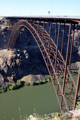
These photos were taken July 7, 2009 as we traveled through the Snake River Plain and include Gilmore, Craters of the Moon National Monument and Preserve, Arco and Twin Falls, Idaho.
Excerpt from wikipedia.org: The Snake River Plain is a geologic feature located primarily within the state of Idaho in the United States of America. It stretches about 400 miles (640 km) westward from northwest of the state of Wyoming to the Idaho-Oregon border. The plain is a wide flat bow-shaped depression, and covers about a quarter of Idaho. Three major buttes dot the plain east of Arco, the largest being Big Southern Butte.
Many of Idaho's major cities are in the Snake River Plain as is much of its agricultural land. Also located within Snake River Plain is the Idaho National Laboratory.
Click Merle's SmugMug Idaho Roadtrip Album to see all the photos in a new window.
No comments:
Post a Comment